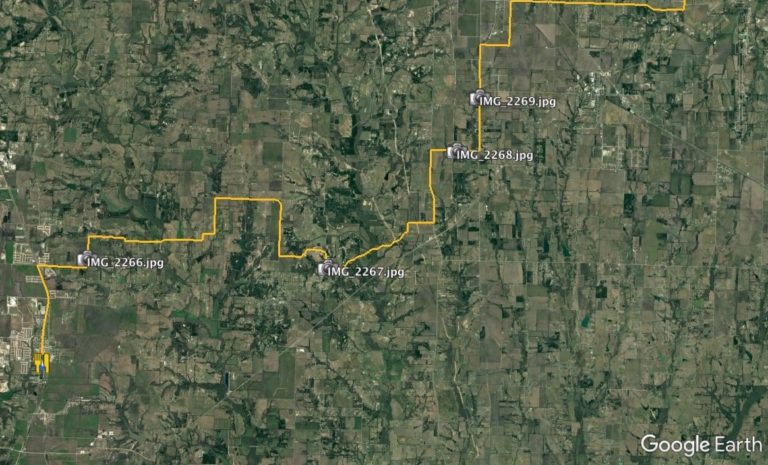
Continuous improvement. The term is quite befitting of my route planning knowledge over the years. It doesn’t hurt that technology is progressing at a huge rate.
I’ve used Google Maps for custom maps and planning for years. In the past year or so, I’ve integrated Google Earth into my planning process as well. They both have their pros and cons, and they each are hugely beneficial.
Recently, our friends over at Overland Bound posted a great instructional video on route planning with Google Earth. It’s well worth your time. Check it out.
Another great tool is utilizing geotagged photos within Google Earth. I’ve just recently learned how, and the mapping/tech nerd within is ecstatic.
Take a look at the link below for a quick rundown of creating a .kml file for your photos. Once created, you can import to Google Earth and move it to whichever folder/project you’re working on at the time.
Enjoy!
Enjoy!
